


Riversley Park & Nuneaton TC Informal MapRun - OD Local League
An OD Local League Informal MapRun using Riversley Park and Nuneaton Town centre.
Parking: at the Pingles Leisure Centre (Avenue Rd, Nuneaton CV11 4LX). Free for up to 3 hours with a ticket from the machine.
Choice of Thursday or Saturday afternoon starts. Start times: Thursday 13:00-14:00, Saturday 14:00 to 14:30
Maps have now been printed. There are a few spare maps so if you want to reserve one of these pre-printed map please email Keith: keith.willdig(at)btconnect.com. Please let Keith know whether you intend to run on Thursday or Saturday. Entry fee: £2 payable on the day with correct cash please.
Course info:
Short: . 2.6 km (just under 4 km optimum distance) 16 controls
Medium: 4.5 km (just over 6 km optimum distance) 29 controls, double-sided map
Long: 5.4 km (around 8 km optimum distance) 34 controls, double-sided map
Control descriptions are printed on the map but if you want loose ones they can be downloaded here
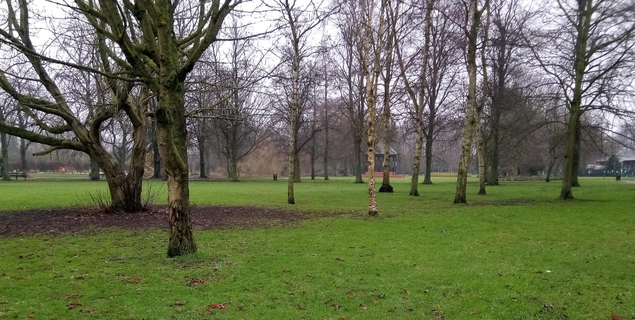
Terrain: A combinaton of flat runnable parkland and urban town centre (negligible climb).
Map: SRA4 LIDAR based map at 1:4000 with 2m contours. Drawn by Bruce Bryant in Jan 2021 and extended / updated to ISSprOM 2019-2 in Dec 2022.
Planner: Keith Willdig
Map
List of Dates (Page event details)
- Sat, 14 Jan 2023 14:00
- Thu, 12 Jan 2023 13:00
Powered by iCagenda