Swift Valley and Eden Park Informal MapRun
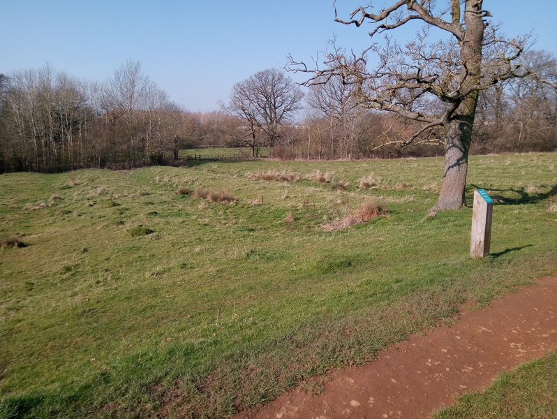
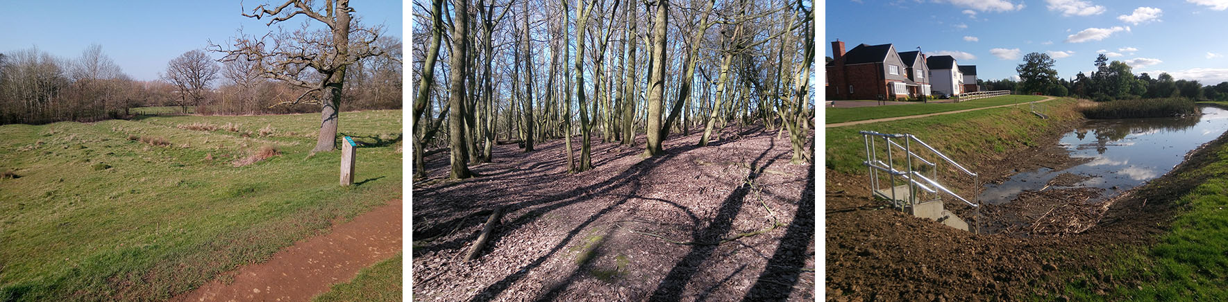
Swift Valley Nature Reserve
Informal MapRun courses using both Swift Valley Nature Reserve and Eden Park - a new-build residential area and associated open parkland.
The nature reserve is mainly grassland with a pronounced ancient ridge and furrow character and is relatively flat. A disused arm of the Oxford Canal separate the nature reserve from Eden Park which is built on a 35m slope. Between Eden Park and the footbridge into Swift Valley Nature Reserve there is an area of runnable woodland. Note that the Long course visits a small part of Brownsover estate with a timed out road crossing back to Eden Park..
Courses details: To make best use of the area the Medium and Short courses have a remote start (650m with 30m climb).
Long 6.4km / 120m / 40 controls
Medium 4.8km / 80m / 34 controls Remote start
Short 3.6km / 35m / 25 controls Remote start
VShort 2.3km / 20m / 16 controls (within Swift Valley only so OK for U16's)
Start times: 10:30 - 11:00
Waterproof A3 map. New LiDAR based ISSprOM map at 1:4000 with 2.5m contours. Map by Mike Hampton with significant revisions by Bruce Bryant (2021-22).
Parking: Swift Valley Nature Reserve Car park off Brownsover Lane, CV21 1HU
OS Map Reference: SP 505 775
(Note there is no vehicle access from Brownsover Road - you must use Brownsover Lane from the A426)
Map
List of Dates (Page event details)
- Sat, 02 Apr 2022 10:30
Powered by iCagenda